Cookies
O website necessita de alguns cookies e outros recursos semelhantes para funcionar. Caso o permita, o INESC TEC irá utilizar cookies para recolher dados sobre as suas visitas, contribuindo, assim, para estatísticas agregadas que permitem melhorar o nosso serviço. Ver mais
Aceitar Rejeitar
  • Menu
Sobre

Sobre

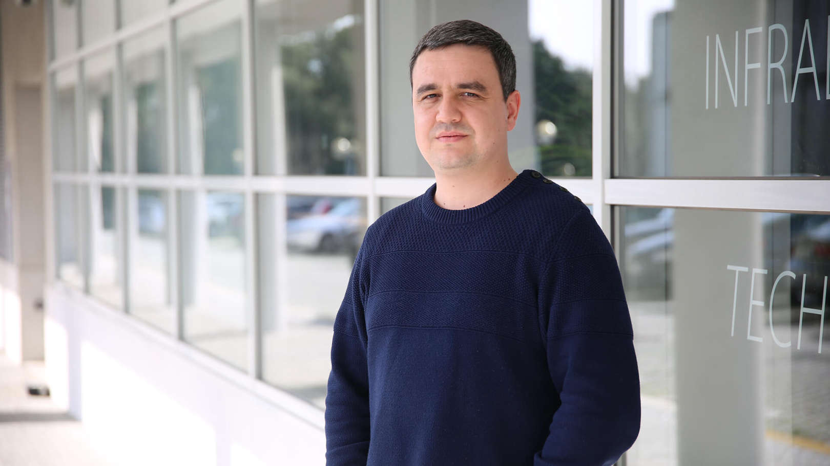
Sou o Carlos Gonçalves e nasci e cresci em Bragança, Portugal. Depois de ter concluído o ensino secundário mudei-me para a cidade do Porto para estudar Engenharia Eletrotécnica e de Computadores na Faculdade de Engenharia da Universidade do Porto (FEUP), num curso de mestrado integrado com especialidade em automação e robótica, o qual terminei em 2016. Durante o curso, além deste, também trabalhei na área de suporte técnico a dispositivos eletrónicos e na área da eletromecânica, nomeadamente no desenvolvimento e fabrico de peças mecânicas recorrendo a software de CAD/CAM e à programação e operação de máquinas CNC. Estes trabalhos deram-me uma experiência complementar ao conhecimento académico.

O tema da minha dissertação para obter o grau de mestre esteve relacionado com o projeto e desenvolvimento de um pequeno veículo autónomo submarino. Deste trabalho resultou o robô SHAD. Depois da minha graduação como mestre, passei a ser investigador no INESC TEC e as minhas áreas de investigação continuam a ser automação, eletrónica e sistemas robóticos. A minha atividade está centrada no desenvolvimento de soluções inovadoras para plataformas robóticas aquáticas.

Tópicos
de interesse
Detalhes

Detalhes

  • Nome

    Carlos Filipe Gonçalves
  • Cargo

    Investigador
  • Desde

    23 novembro 2016
006
Publicações

2023

Estimation of Sediments in Underwater Wall Corners using a Mechanical Scanning Sonar

Autores
Goncalves, CF; Cruz, NA; Ferreira, BM;

Publicação
2023 IEEE UNDERWATER TECHNOLOGY, UT

Abstract
This paper describes a robotic system to detect and estimate the volume of sediments in underwater wall corners, in scenarios with zero visibility. All detection and positioning is based on data from a scanning sonar. The main idea is to scan the walls and the bottom of the structure to detect the corner, and then use data obtained in the direction of the corner to estimate the presence of sediment accumulation and its volume. Our approach implements an image segmentation to extract range from the surfaces of interest. The resulting data is then employed for relative localization and estimate of the sediment accumulation. The paper provides information about the methodologies developed and data from practical experiments.

2022

An Autonomous System for Collecting Water Samples from the Surface

Autores
Pinto, AF; Cruz, NA; Ferreira, BM; Abreu, NM; Goncalves, CE; Villa, MP; Matos, AC; Honorio, LD; Westin, LG;

Publicação
OCEANS 2022

Abstract
This paper describes a system designed to collect water samples, from the surface down to a configurable depth, and with configurable profiles of vertical velocity. The design was intended for the analysis of suspended sediments, therefore the sampling can integrate water flow for a given depth profile, or at a specific depth. The system is based on a catamaran-shaped platform, from which a towfish is lowered to collect the water samples. The use of a surface vehicle ensures a permanent link between the operator and the full system, allowing for a proper mission supervision. All components can be remotely controlled from the control station, or programmed for fully autonomous operation. Although the main intended use is for the analysis of suspended sediments in rivers, it can easily be extended to collect water samples in other water bodies.

2018

ALARS - Automated Launch And Recovery System for AUVs

Autores
Pinto, VH; Cruz, NA; Almeida, RM; Goncalves, CF;

Publicação
OCEANS 2018 MTS/IEEE CHARLESTON

Abstract
Underwater sensing and mapping operations using autonomous vehicles are becoming widely used. This article describes an automated system to launch and recover an AUV. It can operate in any host platform and can transport any torpedo-shaped vehicle with 0.2 meters of diameter, length up to 3 meters and weight up to 1000 N. The system ensures a restrained transportation of the vehicle and guarantees that it performs a smooth entrance in the water. It was instrumented for continuous status remote monitoring, using linear and angular motion sensors, as well as enables to remotely take control over the operation. Experimental results carried out within the XPRIZE competition demonstration scope are presented.

2017

Flexible Unmanned Surface Vehicles enabling Future Internet Experimentally-driven Research

Autores
Ferreira, B; Coelho, A; Lopes, M; Matos, A; Goncalves, C; Kandasamy, S; Campos, R; Barbosa, J;

Publicação
OCEANS 2017 - ABERDEEN

Abstract
FLEXUS unmanned surface vehicle was designed in the context of the Internet of Moving Things. This small catamaran weights less than 15kg and is less than 1m long, making it a very convenient vehicle with reduced logistics needs for operations in real outdoor environments. The present paper describes the resulting system both in terms of design and performances. Based on the requirements for this project, the subsystems composing the vehicle are described. Results obtained from experiments conducted in outdoor conditions have successfully validated this design and are presented in this paper.

2017

Cooperative Deep Water Seafloor Mapping with Heterogeneous Robotic Platforms

Autores
Cruz, N; Abreu, N; Almeida, J; Almeida, R; Alves, J; Dias, A; Ferreira, B; Ferreira, H; Gonçalves, C; Martins, A; Melo, J; Pinto, A; Pinto, V; Silva, A; Silva, H; Matos, A; Silva, E;

Publicação
OCEANS 2017 - ANCHORAGE

Abstract
This paper describes the PISCES system, an integrated approach for fully autonomous mapping of large areas of the ocean in deep waters. A deep water AUV will use an acoustic navigation system to compute is position with bounded error. The range limitation will be overcome by a moving baseline scheme, with the acoustic sources installed in robotic surface vessels with previously combined trajectories. In order to save power, all systems will have synchronized clocks and implement the One Way Travel Time scheme. The mapping system will be a combination of an off-the-shelf MBES with a new long range bathymetry system, with a source on a moving surface vessel and the receivers on board the AUV. The system is being prepared to participate in round one of the XPRIZE challenge.